

In April, NingHang Group's NingHang UAV Info-Tech Co., Ltd. officially released its flagship digital product — the "City in the Sky · Skyline" low-altitude digital platform. Positioned as the "digital foundation of the low-altitude economy," the platform ensures every flight generates lasting data value, closing the loop from data capture and AI analysis to industry application.

Why Skyline?
The low-altitude economy faces a core contradiction: massive flight data is generated but mostly discarded after the flight. A single power-line inspection can produce several GB of imagery, yet it often serves only a one-time report. Skyline solves this — automatically ingesting, analyzing, and visualizing flight data, and integrating it with business systems.
Three Engines, One Ecosystem
The Skyline platform is built around three core capabilities:
- Digital Twin engine: auto-generates 3D realistic models of cities, parks, and stations from aerial data, supporting planning and simulation — 5x faster than traditional methods;
- AI Recognition engine: 20+ built-in algorithms for power-line inspection (insulator defects, cable foreign objects), illegal-construction detection, crop-growth analysis, and geological-hazard identification, with over 95% accuracy — data analyzed as captured;
- Online Community: connects pilots, service providers, and clients for work-order dispatch, skill trading, and resource sharing, with 2,000+ registered pilots.
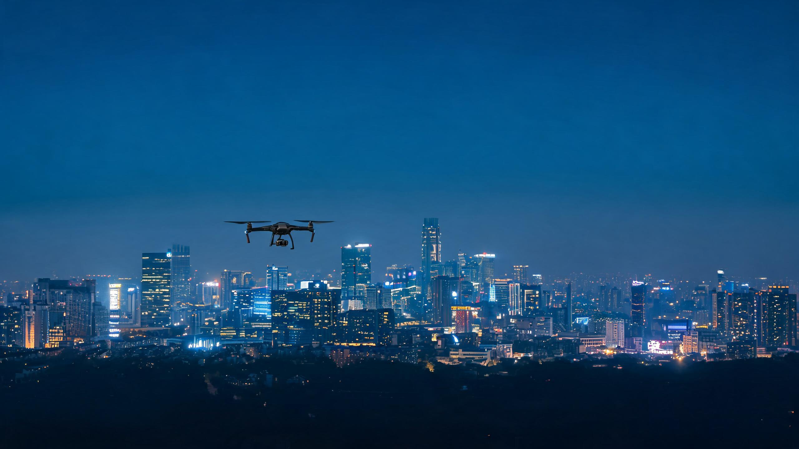
Data is the new oil of the low-altitude economy, and Skyline is the refinery that extracts it.
Real Scenarios, Proven Results
The platform has already been piloted across multiple scenarios in Zhejiang with measurable outcomes:
- Power-line inspection: after a city utility integrated Skyline, single-line inspection time dropped from 8 hours (manual) to 1.5 hours (UAV), with a 30% improvement in defect detection;
- Smart parks: a Ningbo park optimized security patrol routes via its digital-twin model, cutting incident response time by 40%;
- Agriculture: rice-growth monitoring for 3 Shengzhou townships enabled precision fertilization, saving 15% fertilizer per mu.
An Open Ecosystem, Built Together
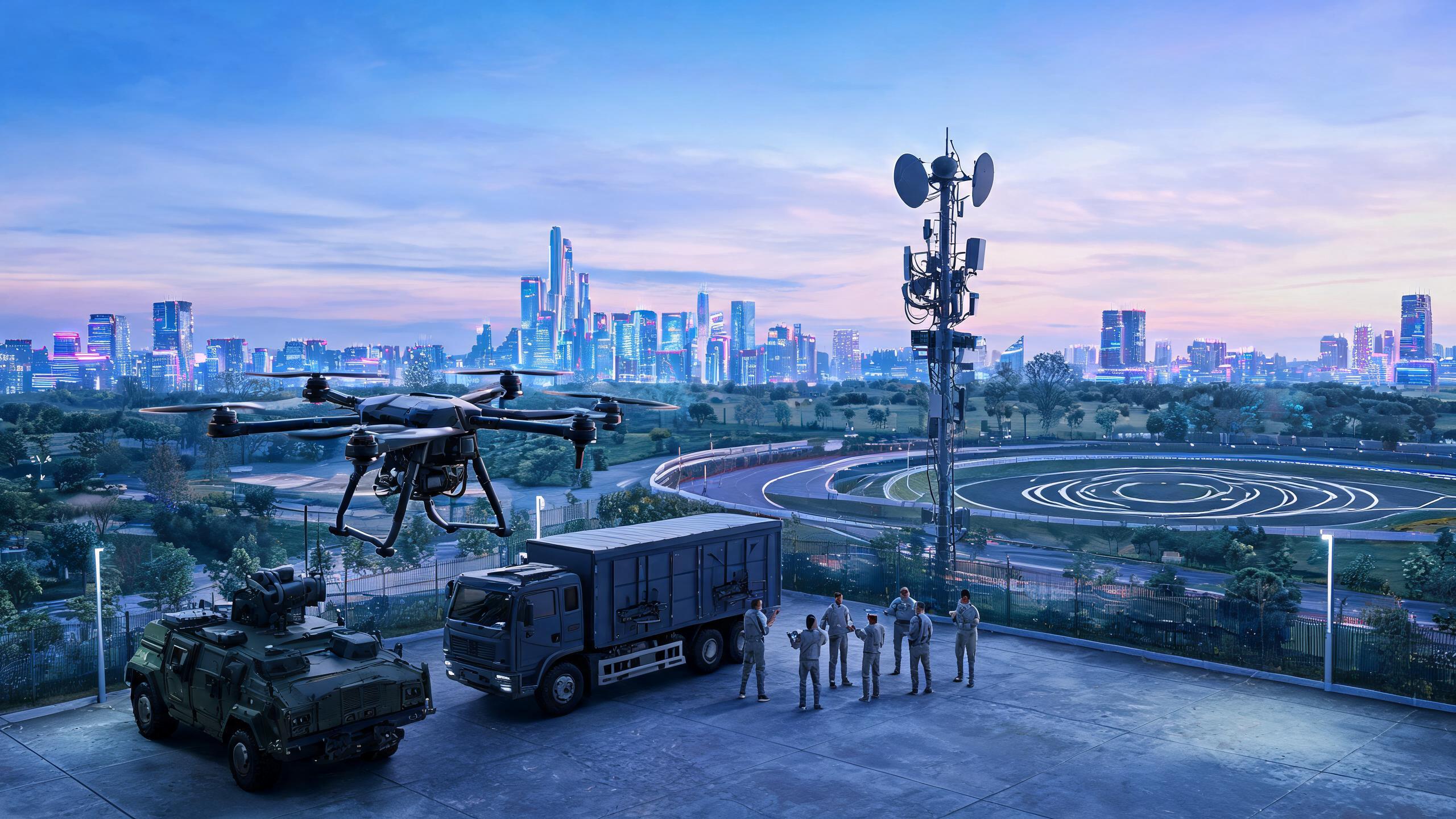
Skyline is not a closed system. The platform will expose open APIs for industry partners, supporting third-party algorithms and industry plug-ins, with cooperation intents already signed with 5 ISVs in surveying, security, and agriculture.
"The second half of the low-altitude economy is a competition of data and AI," said NingHang Info-Tech's director. "We want Skyline to be a shared digital foundation where every participant benefits — pilots monetize skills, enterprises cut costs, and governments make data-driven decisions."
Enterprise trial applications are now open — contact NingHang UAV Info-Tech Co., Ltd. for details.

